

Media error: Format(s) not supported or source(s) not found
Download File: https://rcei.rutgers.edu/wp-content/uploads/2023/10/2023-10-03e-RCEI-Homepage-Montage.mp4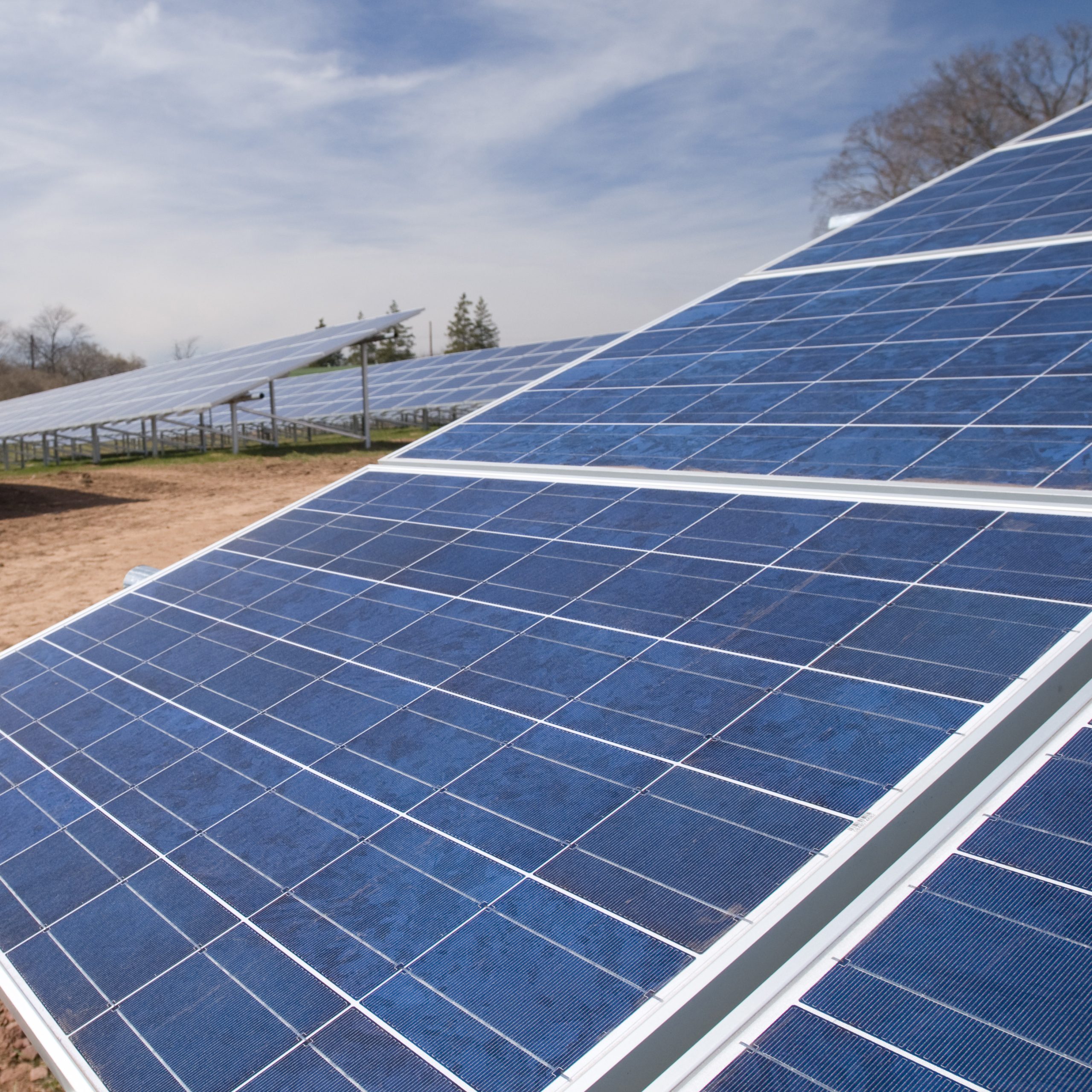
RCEI Groundwork Grants
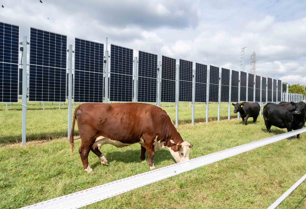
RCEI Clean Energy Fellowship Program
Our work has never mattered more. We all understand the stakes. The Earth continues to warm, and human and ecological communities suffer from the impacts of a changing climate. The creativity, passion, and stubborn resolve RCEI affiliates and their students have for their climate change and renewable energy scholarship persevere.
Your contributions will support graduate students and early career scholars, research programs that develop real-world solutions, and building connections between the arts and sciences.
Now, more than ever, we need you.
- 0
- 1
- 2
RCEI Groundwork Grants
RCEI Clean Energy Fellowship Program
Our work has never mattered more. We all understand the stakes. The Earth continues to warm, and human and ecological communities suffer from the impacts of a changing climate. The creativity, passion, and stubborn resolve RCEI affiliates and their students have for their climate change and renewable energy scholarship persevere.
Your contributions will support graduate students and early career scholars, research programs that develop real-world solutions, and building connections between the arts and sciences.
Now, more than ever, we need you.
- 0
- 1
- 2
Learn About Us
Signature Initiatives
Signature Initiatives
News & Events from RCEI
Trump’s return is a ‘tragedy not just for the US, but the world,’ says climate scientist

Latest
Collaborative Advances in Research on Seaweeds in the Caribbean

Dangerous Tick-Borne Bacterium Extremely Rare in New Jersey

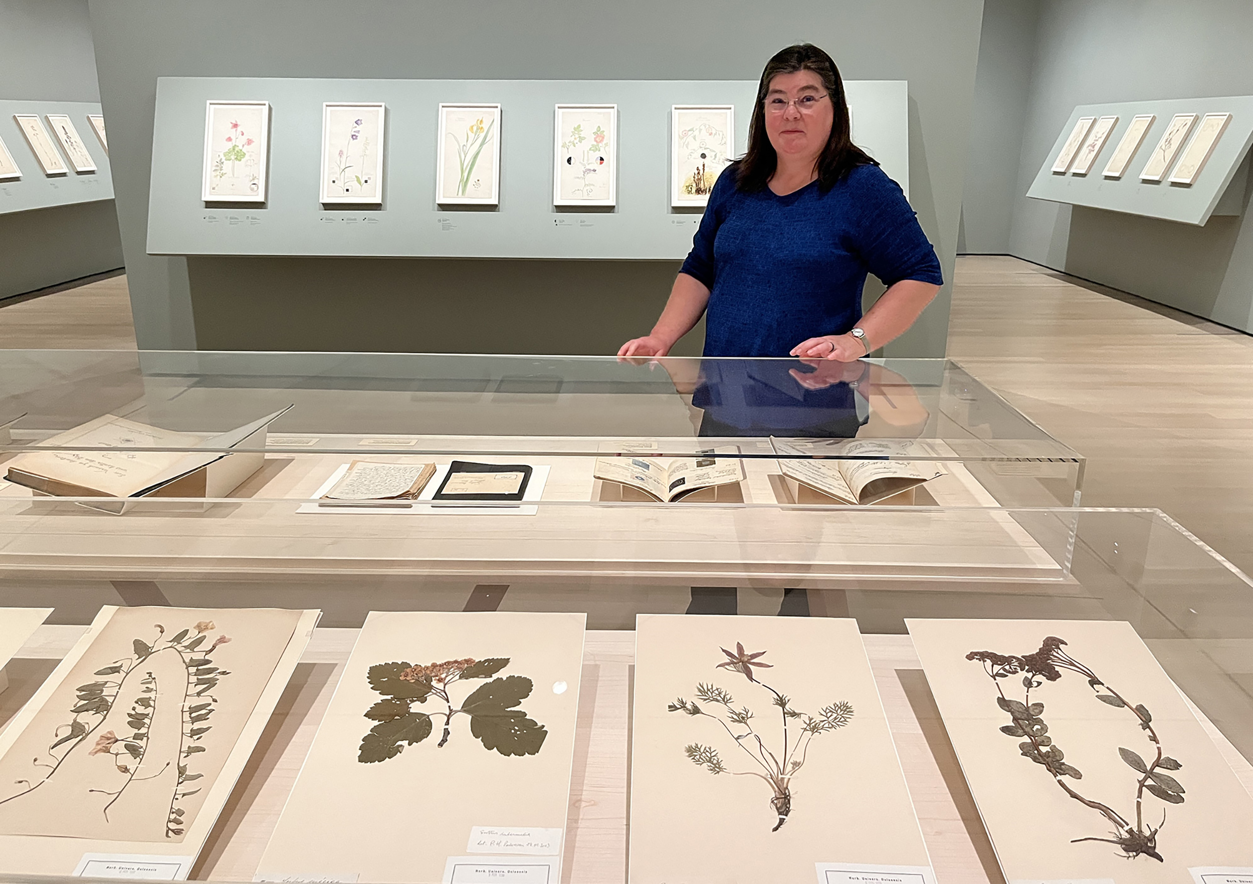
Rutgers Botanist Builds Bridge Between Science and Art in MoMA Exhibit on Hilma af Klint
Extreme Monsoon Changes Threaten the Bay of Bengal’s Role as a Critical Food Source